
RF-controlled drones
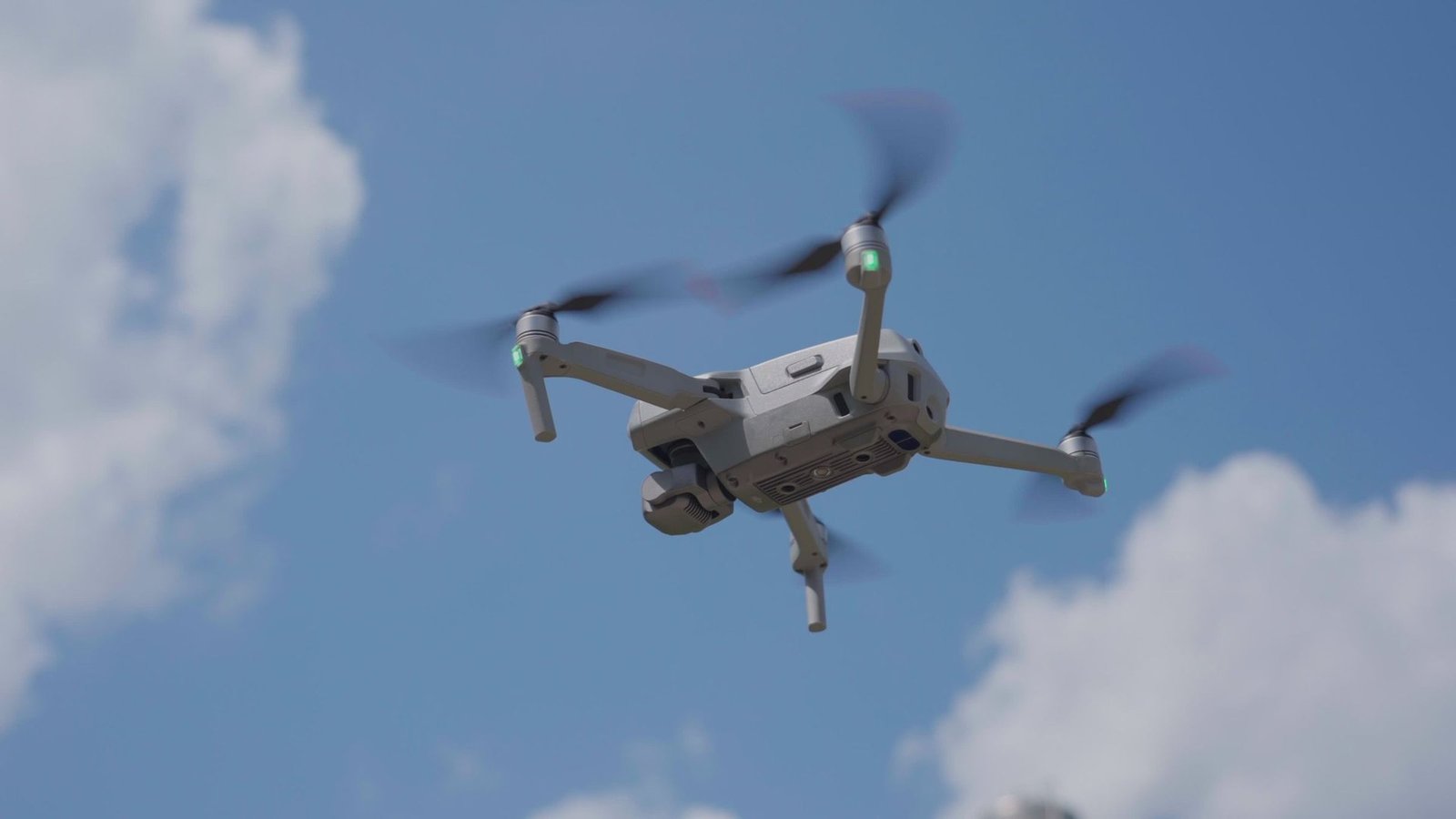
A radio link carries flight commands from the operator to the aircraft. The onboard flight controller carries out those commands.
C-UASAirborne counter-unmanned aircraft systems
Drones have evolved from radio-controlled systems into sophisticated autonomous, RF-silent, fiber-optic, and map-guided threats. Existing C-UAS systems rely on jamming, spoofing, or communication takeover cannot defeat them. Traditional interception creates falling debris, uncontrolled impacts, and catastrophic collateral damage.
Aeros C-UAS airborne platform to close that gap. Persistent Airship-Based Airborne Counter-UAS (PABA C-UAS) is designed to integrate detection, tracking, identification, and capture-based mitigation for homeland security teams protecting major events, airports, and critical infrastructure.
“What we’re using now isn’t going to work in the future.”Markwayne Mullin · U.S. Secretary of Homeland Security
Emerging drone threats to the homeland
The risk to a venue or critical facility depends on both the aircraft and the environment where it operates. Security planning has to account for a range of aircraft designs and flight behaviors.
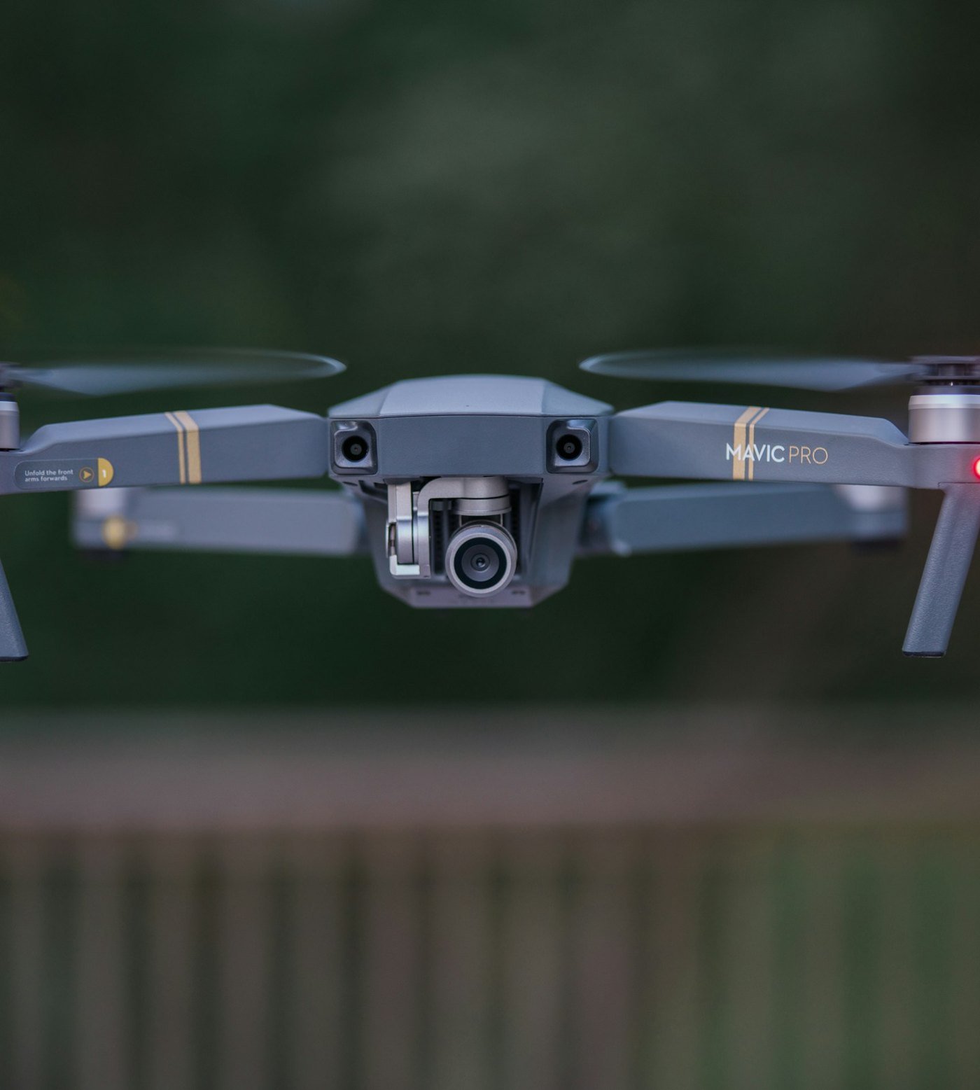
Radio-frequency (RF) control describes how commands reach a drone. GPS guidance describes how it uses satellite signals to navigate. One aircraft can use both.
A radio link carries flight commands from the operator to the aircraft. The onboard flight controller carries out those commands.
Satellite signals help the aircraft estimate its location. The flight controller can use that position to follow a planned route or hold its position.
Newer designs can automate more of the flight onboard. Some rely less on continuous operator input and can use a mix of navigation sources.
Layered sensing
Many existing tools were designed around a particular signal or aircraft behavior. A system can perform well against one type of drone and still leave gaps when aircraft designs or operating environments change. A detection alert also needs a reliable track and enough evidence to identify the aircraft.
Layered sensing gives teams independent observations to compare. Agencies can evaluate the full process from detection, tracking, and identification through a coordinated, authorized response.
Public statements
Public remarks on drone threats to major events, civilian aviation, and public safety.
 November 9, 2026
At the Drone Security Industry and SLTT Grant Forum, Mullin called for affordable counter-drone technology that keeps pace with emerging threats.
You need to stop and rethink what you have completely
 November 9, 2026
Kowalski said federal planning accounts for the risk that a malicious drone incident could trigger panic and endanger people at a large event.
 November 9, 2026
Duffy called for closer coordination among federal agencies to address rogue drones and protect civilian aviation.
 October 11, 2026
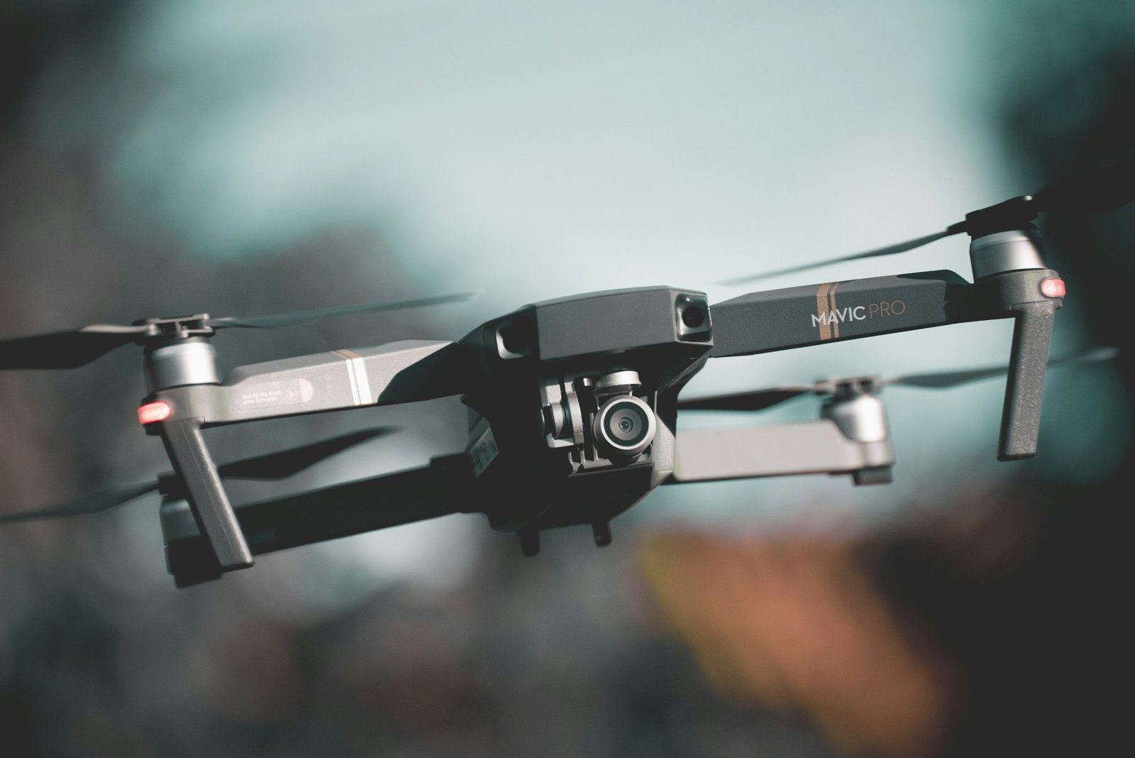
In a joint 60 Minutes interview with Director Sean Curran, Quinn discussed how the agency is preparing for threats from multiple drones operating together.
Swarms are a huge problem and a big threat
Integrated architecture
Aeros is integrating an elevated sensing and command system built on an FAA type-certified manned airship platform, with its C-UAS system in advanced engineering and prototype integration.
An airborne platform is designed to place sensing and command above the obstructions that shorten ground-level warning time.
Radar, EO/IR and sensor fusion are designed to support early detection, tracking and visual identification. Airborne command and control is designed to give authorized teams a shared view of an incident.
Aeros is developing physical capture and controlled recovery to reduce debris risk. Operational mitigation requires the applicable authority and approvals.
Government solutions
Aeros is developing Persistent Airship-Based Airborne Counter-UAS (PABA C-UAS) to help federal, state and local agencies protect major events, transportation hubs and critical infrastructure.
Protection scenarios

Assess how airborne sensing could complement an airport’s existing monitoring. Discuss alert sharing, coordination with airport operations, and airspace requirements for an evaluation.
Explore how a shared view of drone activity could support incident command at major sporting events, concerts, parades, and festivals. Review coordination among event organizers and public safety agencies.
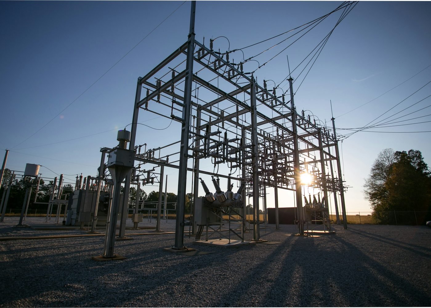
Review how airborne awareness could complement monitoring at energy, water and communications facilities, as well as ports and other transportation sites. Consider how incident reporting would fit existing continuity plans.
Plan for recurring events at stadiums, arenas, and convention centers. Evaluate how venue security teams could share alerts with local responders and authorized agency partners.
Use cases by organization
Explore how airborne C-UAS could support your organization’s existing safety, security and incident response plans.
Federal agenciesEvaluate persistent airborne awareness for transportation hubs, critical infrastructure and major national events.
 State agencies
Plan how state law enforcement, aviation and emergency management can share airspace awareness with regional partners.
 Local agencies
Assess how an elevated view could support venue security, emergency operations and coordination with authorized partners.
Venue operatorsAssess how airborne monitoring could fit security plans for stadiums, arenas and convention centers during routine operations and major events.
Critical infrastructure operatorsAssess how airborne drone awareness could complement existing security at energy, water, communications and transportation facilities.
Sporting associationsPlan how leagues, federations and tournament organizers could share drone alerts with host venues and public safety agencies.
The 2028 Olympic and Paralympic Games in Los Angeles provide a scenario for assessing how agencies could coordinate airspace awareness across venues, transportation corridors and critical infrastructure.
Major-event readiness
For Los Angeles 2028 and other major events, any deployment remains subject to authorization, evaluation, procurement and interagency planning.
Airship-platform, sensor, command-and-control and interceptor integration.
Instrumented flight demonstration and federally supervised evaluation pathways.
Authorization, operational planning and procurement for mission-specific deployment.
Agency engagement
Discuss your mission, the environments you protect and what your team needs to know sooner.
Review sensor integration, command and control, and how your existing systems would receive and share incident data.
Set test objectives for detection, identification, interoperability and recovery safety. Review the approvals needed for a controlled demonstration.
Regulatory references
References for agencies evaluating an airborne C-UAS demonstration or planning for authorized operations.
FAA type certification covers the approved aircraft design. Demonstration planning should also address the airworthiness of the proposed aircraft configuration and the airspace requirements for the planned flight.
Section 124.9 addresses advance coordination with the Department of Transportation and FAA for covered C-UAS operations. Review the coordination requirements for the proposed activity and airspace with the responsible authorities.
Part 124 implements the SAFER SKIES Act framework under 6 U.S.C. § 124n for eligible state, local, Tribal, and territorial law enforcement and correctional agencies. It addresses operator training and certification, authorized technology, operating plans, coordination, reporting, and privacy.
Identifies authorized technology categories.
Identifies specific makes and models that have completed interagency evaluation, with applicable operating restrictions.
Discuss your agency’s evaluation objectives and proposed demonstration.
InquireAeros C-UAS
Overview materials and reference links for public safety and homeland security agencies.
 01
See the video introduction and the operating premise behind Aeros’ airborne architecture.
 02
Review the steps from mission briefing through technical review and demonstration planning.
03Find official FAA references and the current 6 CFR Part 124 text.
Report dangerous or suspected criminal drone activity promptly to local law enforcement. For suspected violations of FAA flight rules, use the FAA’s reporting guidance.
Briefing requests
Share your agency, general use case and evaluation timeline. Choose General Inquiry on the Aeros contact page and mention “Government C-UAS briefing.”
Contact Aeros